
Bonn Challenge: Uganda identifies 8 million potential restoration lands
The Government of Uganda in partnership with International Union of Conservation of Nature (IUCN), the World Resources Institute (WRI) and other government agencies have identified 8,079,6221 hectares of land that could benefit from restoration and will help the country operationalise its Bonn pledge of restoring 2.5 million hectares of degraded and deforested land by 2020.
The areas were identified during an extensive assessment conducted by the government and other partners in the country.
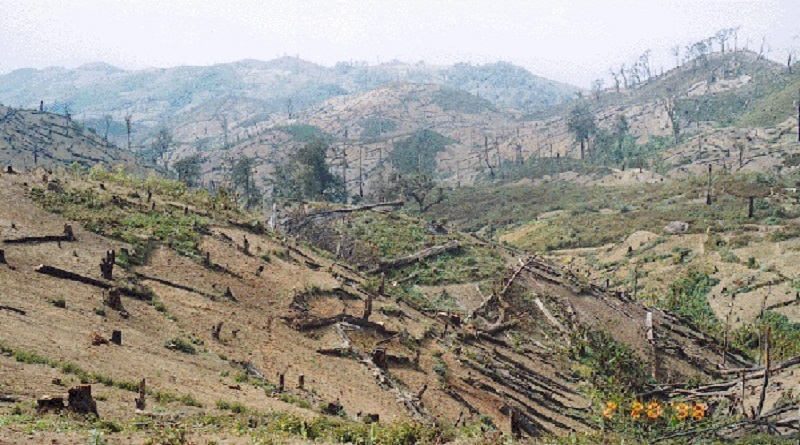
Forests cover only 9% of Uganda, a combination of population pressure and land tenure systems have led to high rates of degradation, soil erosion and a decline in soil fertility. The government wants to increase forest cover to 24% and is looking at forest landscape restoration (FLR) as the solution.
The Government of Uganda, operating through the Ministry of Water and Environment, worked with IUCN and WRI to apply the Restoration Opportunities Assessment Methodology (ROAM) to:
Determine deforestation and land degradation trends in the country
Identify areas suitable for FLR and zero in on priority landscapes
Figure out interventions for various types of ecosystems and estimate their profitability
Decide how to tackle policy and institutional bottlenecks
Assess the socio-economic factors that would influence FLR interventions
A team of technical staff from various ministries, NGOs and academic institutions narrowed down a list of seven classified landscapes based on climate, vegetation, altitude and farming systems, among other factors.
These included:
Western mid-altitude farmlands
Lake Victoria Crescent
Karamoja
South Kyoga floodplains
Afro-montane high altitude
North Moist farmlands
South west rangelands
These were then assessed on how degraded they were and suitable restoration interventions, such as agroforestry and natural regeneration, were identified. Several bottlenecks to FLR, including a lack of awareness among local communities, well-defined land tenure laws and financial resources, have been identified along with mitigation strategies.
By the end of the study, a total of 8,079,6221 hectares was found to be suitable for restoration. Twenty two priority areas have been listed and the focus now turns to translating this data into action.